Now, if from the title you assume this walk was under leaden skies with rain lashing down around us you would be wrong. Blue skies and sunshine were the order of the day. However, the snowmelt meant it was very wet underfoot. Not muddy, just very, very wet. Indeed there were several footpaths that looked like streams in spate rather than something to walk along. But, more of that later…
Another walk with friends we all met up by Grindleford Station (note: not in Grindleford, more Upper Padley). Deep in shade this spot was still full of snow and ice but we all managed to park without crashing into anything and once suited and booted we started to walk up towards Froggatt Edge.
The gritstone edges of the Peak District are, in fact, a series of escarpments, the sheer gritstone walls towering above the valleys below. Make the effort to get on top of them though and they afford some great views…
Anyway, back to the walk. out of Grindleford Station we took the footpath up the inaptly named Tumbling Hill. I say inaptly as a) none of us tumbled and b) I’m not sure there was ever a chance of that on such a good path. Still I’m sure there is a story behind the name. From here it was a simple case of following Hay Wood to the A625, or at least that’s what Bob led us to believe…
 |
| Tumbling Hill |
Just before the road there was the small matter of a stream to cross. Unfortunately, all the snow melt had turned this small stream into something much wider and faster and tricky to cross. Cue 5 walkers all staring forlornly at the water and poking at it with walking poles as we tried to find a place to cross. Eventually a place was found and a crossing fashioned but it came at a cost as I managed to lose a pole in the water. So 5 walkers safely over the water and dry but now down 1 pole. Grrrrrr… This is the stream (and I don’t think this photo does justice to the impressive flow of water) so if anyone finds a pole here it’s mine!
 |
| "The Stream" |
From here cross the road and enjoy the views as you wander along Froggatt Edge. Eyam, Sir William Hill, Stanage and the Entrance to the Hope Valley…


 |
| Various view from Froggatt Edge |
However, the reverie was soon to be broken...Here we were admiring this little waterfall / fast flowing stream off Froggatt Edge and those of us with cameras were maneuvering for a better view when Bob announced that the stream was actually the path! Now, in hindsight this shouldn’t be surprising as the water was following the line of least resistance and there was a lot of water. After much wailing and gnashing of teeth Bob stepped forward and led us down as we scrambled our way down staying just above the water. Not always easy to find the path at times but somehow we made it down with both dignity and dry feet...well, dry feet anyway… But, another surprise was in store as just before we reached the road to Froggatt Bridge we came across another new stream crossing the path. This one looked rather shallower though and after confirming that with my remaining pole I quickly forded across it and the others followed (this was probably the one moment in the day I was in front and not lagging behind - must get hill fitter as it is just too flat where I live).

 |
| 2 views of the new "Froggatt Falls" |
After a short break we walked up to Eyam where we settled down for lunch, the cookies I had brought (recipe to appear here soon) and erudite conversation (not really…). However, as we set off again we came to the plague cottages and started to read about how whole families living there had ended up dying and how scary and depressing it must have been for the dwindling number of people left behind. Indeed, when the plague came to Eyam in 1665 the North of England had been relatively unaffected so the whole village quarantined itself so as not to spread the disease even though it meant many villagers died. See http://www.eyamplaguevillage.co.uk for more information.
However sobering this moment we had to press on with the walk and from here it was an ascent up onto Eyam Edge via Beech Hurst and thence over Bole Hill and past what appears to be an old engine house from Ladywash Mine. A fluorspar mine it closed in 1979. From here we nipped down Sir William Hill Road before taking to Eyam Moor as we headed towards Leam. Now here was some proper snow. Most of it was probably about 12 inches or so deep but I was occasionally going into it up to my knees! The other snowmelt also seemed to be running under the snow as when your feet went all the way through the snow you found some really wet slippery ground. No photos here as the camera was safely in my pocket. One slip for me (and one for Sioban) but no damage done by the soft snow. Just one wet hand from some slushy stuff - thankfully it dried out without freezing my hand off!


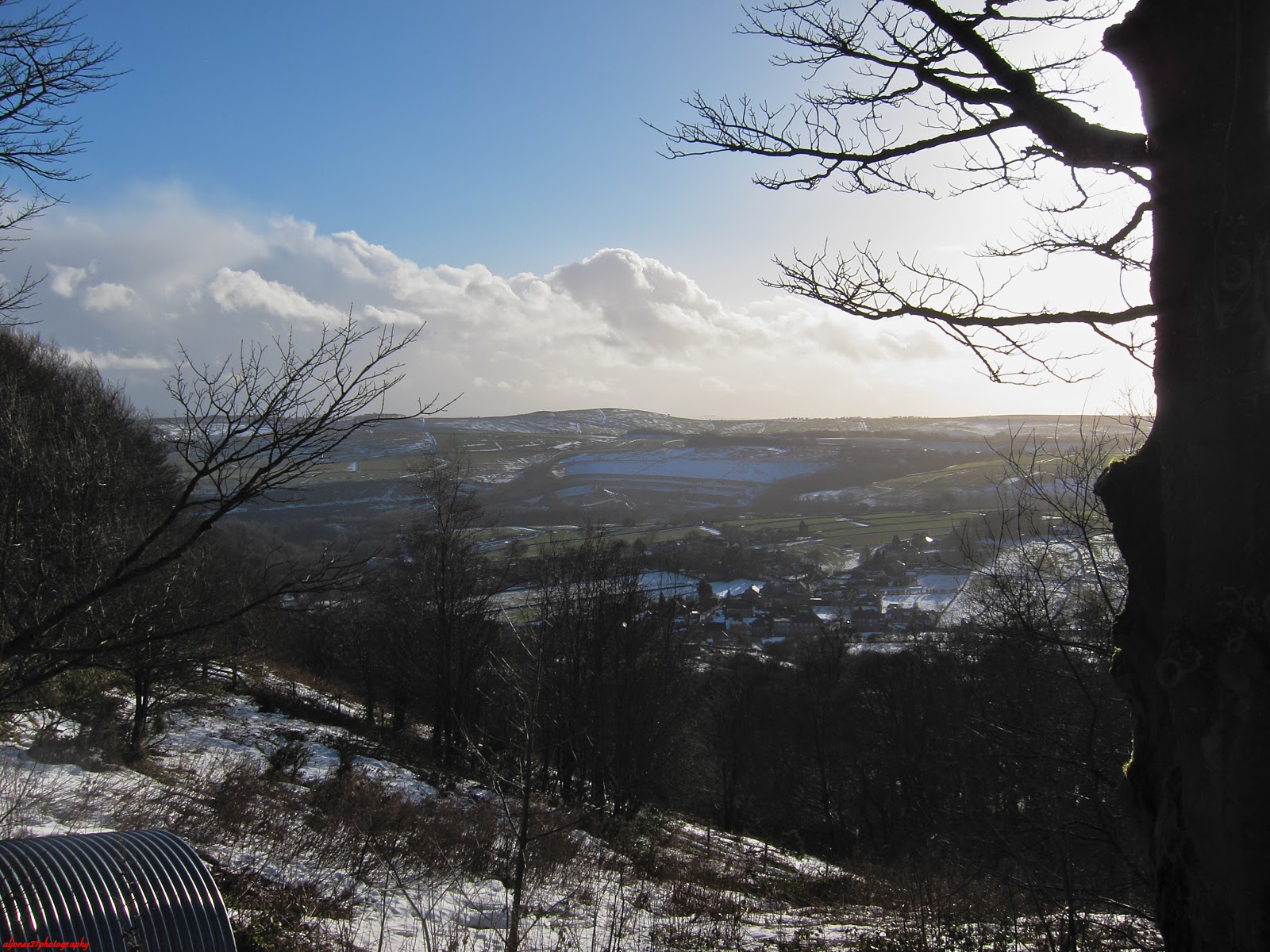 |
| Views back towards Eyam |
 |
| View to Higger Tor and Over Owler Tor |
All in all a great day with a fantastic bunch of eccentrics friends. 11.2 miles, 3,356 feet of climb, lost one pole and very stiff the next day. Great, great day though!


